Earth Science · Earth's Surface
Mapping Earth's Features: Mountains, Volcanoes & Earthquakes
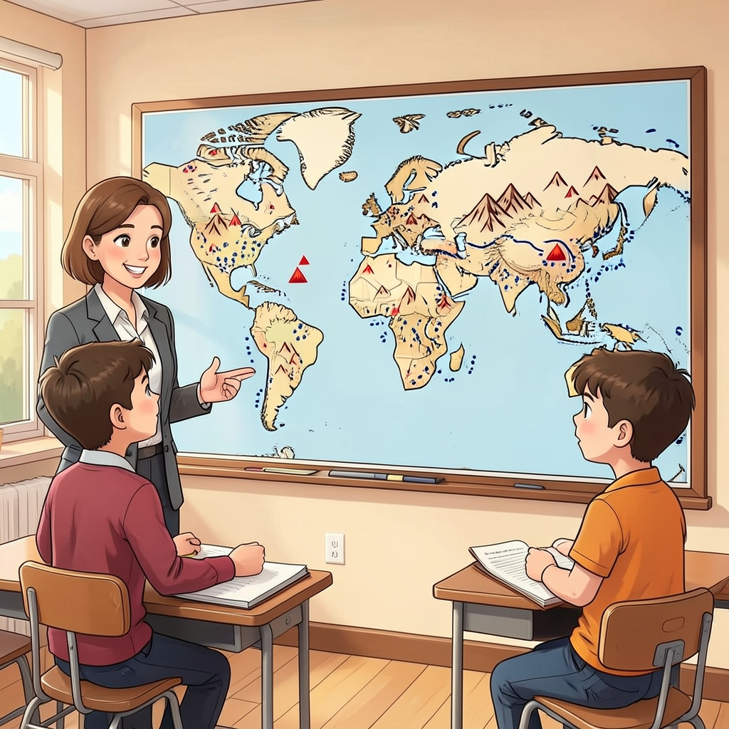
Analyze maps of mountains, volcanoes, earthquakes, and ocean trenches to describe where Earth's features form clusters, lines, and overlapping spatial patterns.
Lesson plan
Mapping Earth's Features: Mountains, Volcanoes & Earthquakes
A step-by-step guide to help you teach this lesson.
Plan with confidence
Lesson overview
What students will learn
- Read a map key and correctly interpret symbols for major Earth features.
- Describe spatial patterns such as clusters, belts, lines, and overlap using map evidence.
Key science ideas
- Mountains, volcanoes, earthquakes, and trenches are not spread evenly across Earth.
- Some features form long belts or clusters.
- Different feature types can occur near the same regions.
Lesson at a glance
- Grade 4
- 50 min
- ~10 min prep
- 4-ESS2-2
- 5 materials
What’s included
- Lesson Plan
- Investigation
- Teacher Slides
- Printable Worksheet
- Teacher Answer Key
- Interactive Activity
- Vocabulary